Marine GPS systems have become essential tools for modern navigation, offering sailors, fishermen, and marine enthusiasts precise and reliable information to ensure safe and efficient travel on the water. These systems utilize satellite technology to provide real-time positioning, mapping, and navigational data. This article explores the different types of marine GPS systems and explains how they work.
Types of Marine GPS Systems
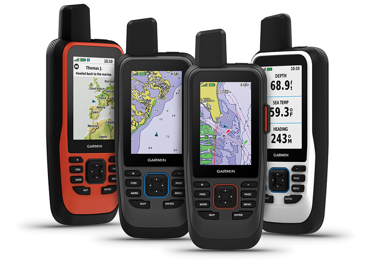
1. Handheld Marine GPS Units
Handheld marine GPS units are portable devices that offer flexibility and convenience for boaters. These devices are compact and can be easily carried, making them ideal for small boats, kayaks, or as backup units on larger vessels. Features of handheld GPS units often include:
– Waterproof and rugged design
– Preloaded maps and the ability to upload additional charts
– Route planning and tracking capabilities
– Waypoint marking and navigation
– Long battery life with rechargeable or replaceable batteries
2. Fixed-Mount Marine GPS Units
Fixed-mount marine GPS units are permanently installed on the boat, usually at the helm or navigation station. These units provide more advanced features and larger displays compared to handheld units, making them suitable for larger vessels and professional use. Key features of fixed-mount units include:
– Large, high-resolution screens for easy viewing
– Integrated with other marine electronics such as fish finders, radar, and autopilot systems
– Detailed chartplotting and navigation capabilities
– Multiple mounting options (flush mount, bracket mount, etc.)
– Power sourced from the boat’s electrical system
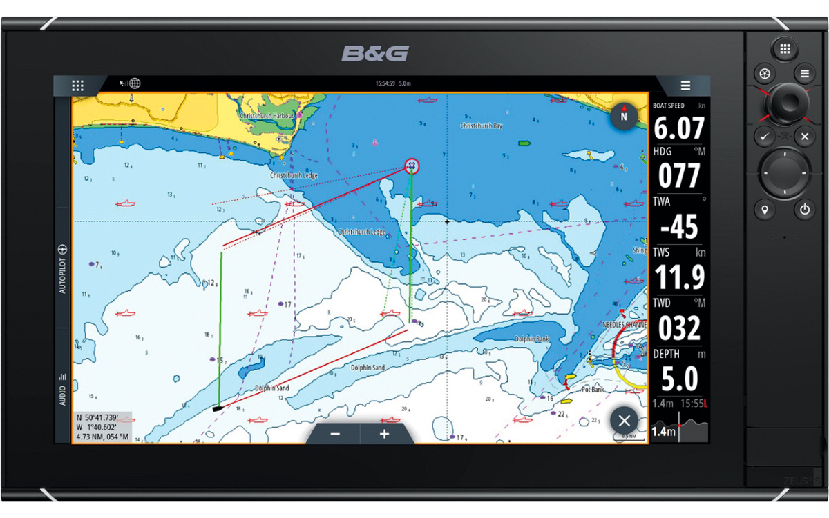
3. Chartplotters
Chartplotters are specialized marine GPS units that focus on displaying detailed nautical charts and providing advanced navigation features. These devices are essential for mariners who require precise route planning and real-time tracking of their position relative to charts. Key features of chartplotters include:
– High-definition displays with touchscreen capabilities
– Extensive chart compatibility (e.g., Navionics, C-MAP)
– Real-time weather overlays and tide information
– Integrated sonar for depth and fish finding
– Advanced waypoint and route management
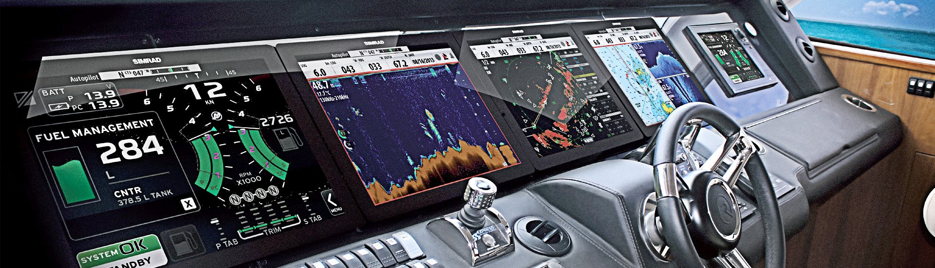
4. Multi-Function Displays (MFDs)
Multi-function displays are comprehensive marine electronics systems that combine GPS, chartplotting, radar, sonar, and other navigational tools into a single unit. MFDs are often the centerpiece of a boat’s navigation system, providing a centralized interface for all navigational data. Features of MFDs include:
– Large, customizable screens with split-view options
– Integration with AIS (Automatic Identification System) for vessel tracking
– Network capabilities to connect with other onboard systems (e.g., autopilot, engine data)
– Real-time data sharing and remote monitoring through mobile apps
– Advanced navigation aids such as 3D charts and satellite imagery